Team


The Physical Geography Group at Leibniz Universität Hannover focuses on the mapping, spatial modelling and detailed analysis of structures and processes on the Earth's surface and of ecosystem services. Data are collected at various spatio-temporal scales in national and international research projects using modern physical-geographical methods of field work (RTK GPS, tablets with mobile applications) and remote sensing (satellite data, drones, laser scanners) and are analysed using Geographic Information Systems (GIS), process-based simulation models, geostatistics and machine learning. The group’s research is used to explain the functions of complex landscape systems under anthropogenic influences, land use and climate change and to better predict dynamics. These studies serve to improve decision-making for the protection and sustainable use of ecosystems and their services and their renaturation.
Landscape structures and processes
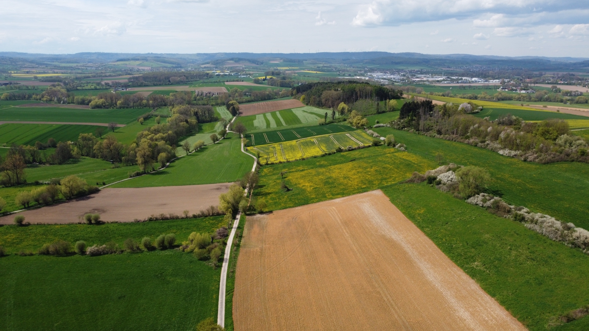
Research of landscape structures and processes is a classic field of activity in physical geography. The aim is to understand which abiotic and biotic elements and structures are present in landscapes, how they interact and how landscapes ultimately “work”. An important area of work of the group is the detection of earth surface processes with a special focus on soil erosion by water in agro-ecosystems under various management methods. In addition to the classic survey methods, digital three-dimensional spatial survey and evaluation methods are used. This also includes script- and machine learning-based computing algorithms for analyses of large amounts of data - big data - such as earth observation data.
Ecosystem condition and services
Ecosystem condition describes the physical, chemical and biological condition or quality of an ecosystem at a particular point in time and its capacity to yield ecosystem services. Ecosystem services (ES) describe and value the diverse benefits that society derives from nature and functional landscapes. These include directly consumable goods such as food, water or energy (provisioning ecosystem services), landscape aesthetics and recreation (cultural ecosystem services) and regulating ecosystem services such as climate or flood regulation, pollination by insects and erosion regulation. The key focus of the group is on the spatial modeling of habitat suitability for pollinating insects and soil erosion-related processes, especially in agricultural ecosystems. Other ecosystem services are also mapped, modelled, analysed and valuated using integrative assessment methods such as the ES matrix method, simulation models or natural capital accounting. A prevailing issue in this field is the investigation of the interactions between ecosystem condition and ecosystem services.
Development and application of methods for spatial data acquisition, analysis, modelling and presentation
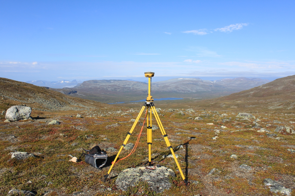
In order to spatially map and assess landscape and ecosystem structures, processes, condition and services, extensive data analyses and computation methods are required at different spatio-temporal scales and resolutions. The Physical Geography group uses and improves existing tools, data and methods and also develops customised approaches for specific questions in research and teaching. For measurement and remote sensing methods, high-precision GNSS (GPS), UAS (drones), satellite and laser scanner systems are used in addition to the more classic field methods. The resulting data are further processed in GIS (Geographic Information Systems) and script-based models, analysed and used for simulations. Furthermore, we develop corresponding methods and procedures that enable efficient (semi-)automated classifications and modelling of multi-dimensional spatial data using machine learning and other (big) geodata approaches.
Head of group


Prof. Dr. Benjamin Burkhard
Phone
Fax
Address
Schneiderberg 50
30167 Hannover
30167 Hannover
Building
Room
Prof. Dr. Benjamin Burkhard
Phone
Fax


